Maricopa County Zip Code Map (Interactive, 2026)
Every zip code in Maricopa County, outlined on one map: 139 zip codes from the county's own USPS zip code boundary file (PO box zip codes left off, since no homes use them). Search a zip code or city, tap Find my zip, or tap any area to see its zip code, city and, for most of Phoenix and the East Valley, the median home price and how buyers paid.
Shaded zip codes have price data (at least 60 sales in the last year). Zoom in to see zip numbers on the map. Zip codes are mail routes, not city limits. Want zip codes color coded by price change, cash buyers or FHA share? Open the Phoenix home price map.
Printable Zip Code Maps
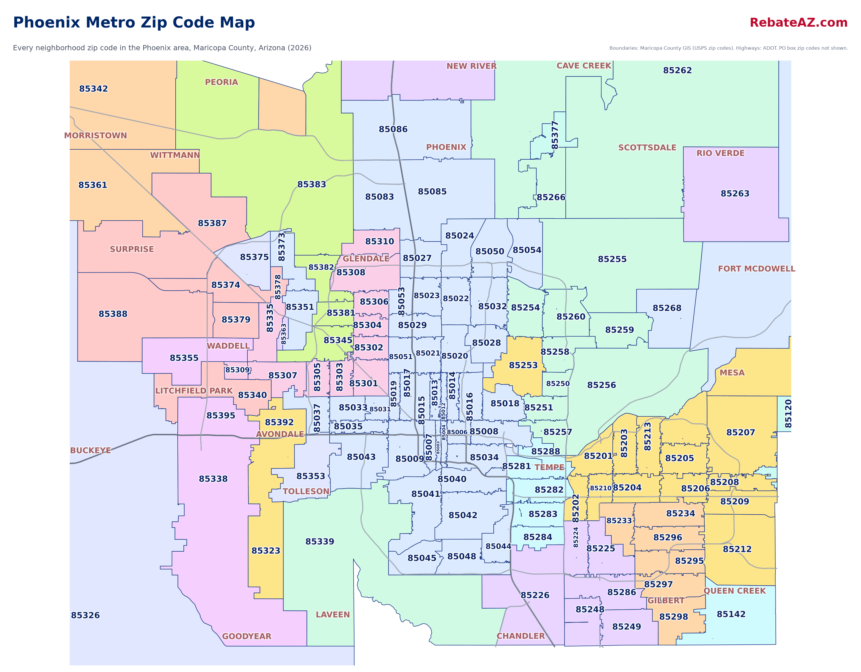
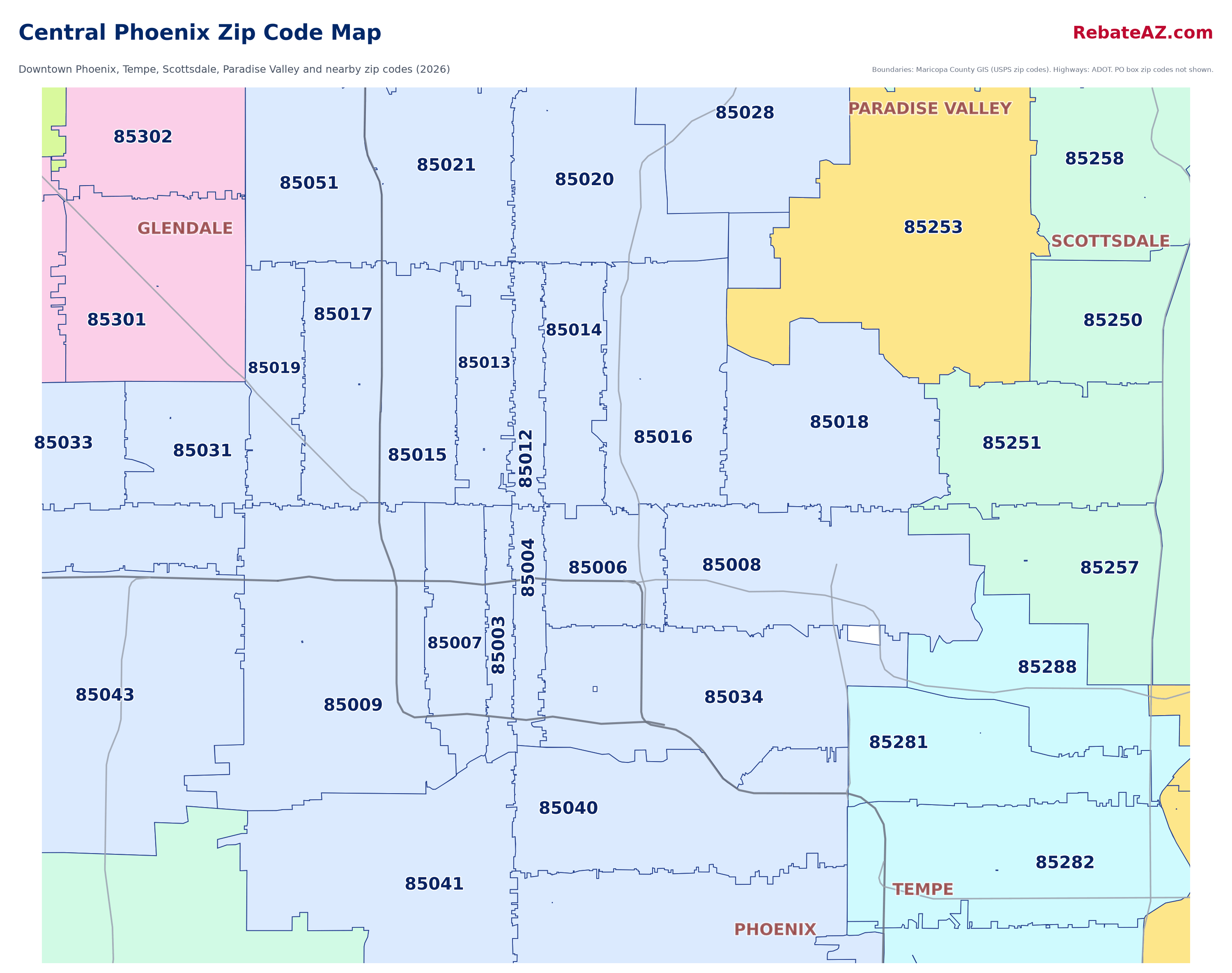
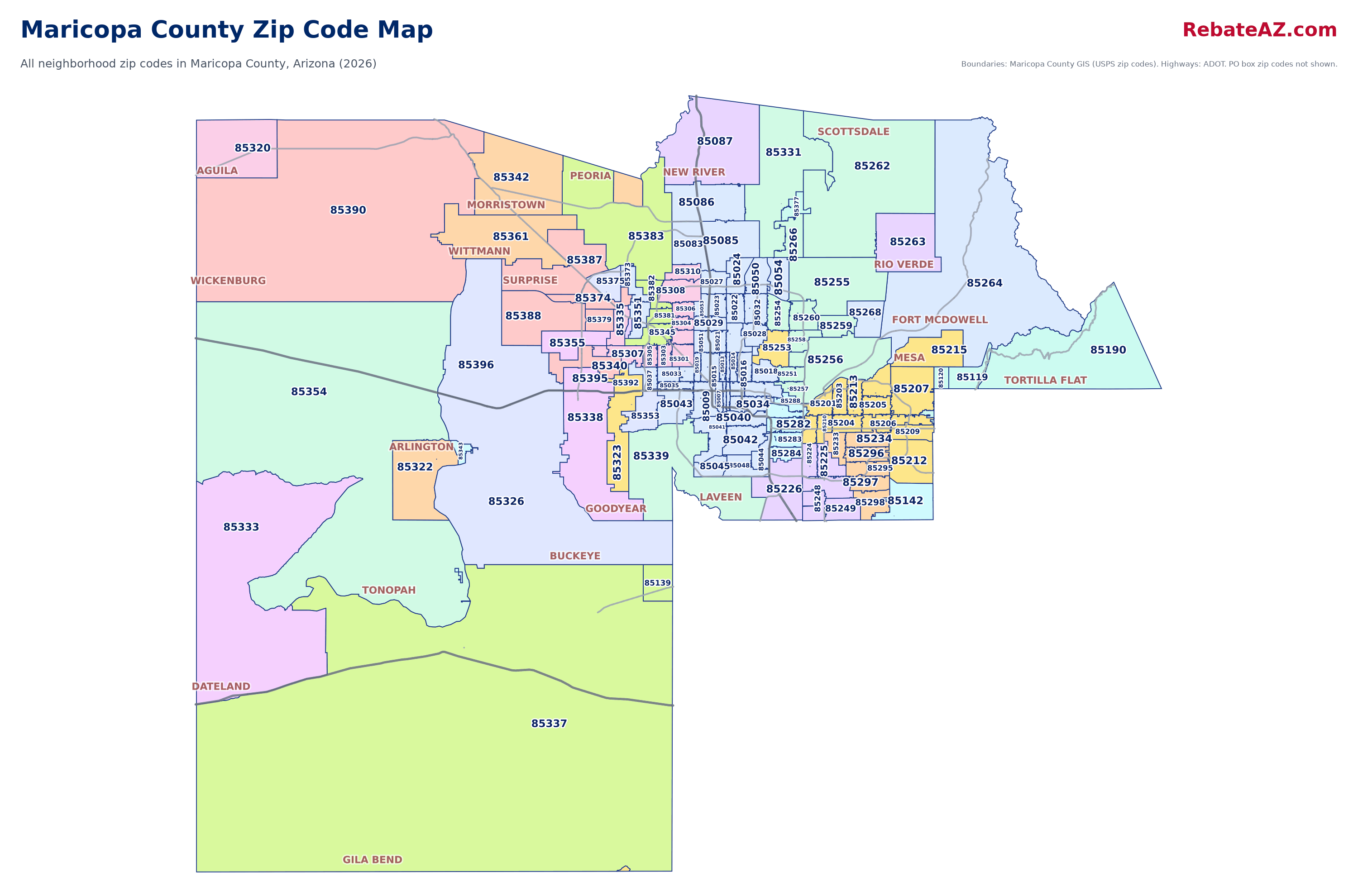
Prefer a picture you can save or print? These maps show every neighborhood zip code with city names and freeways. Tap one to open it full size.
Text us the address of any home and we'll tell you your rebate in dollars.Licensed Arizona agents with HomeSmart. Read our Google reviews.
Text (602) 975-2727Maricopa County Zip Codes by City
Tap a zip code to jump to it on the map. Cities are the Postal Service city name for each zip; a zip that serves two place names is listed under both.
Questions
How many zip codes are in Maricopa County?
This map shows the 139 Maricopa County zip codes that cover neighborhoods where people live, from the county's USPS zip code file. PO box and single-address zip codes (post office boxes, Arizona State University, large mailers) are left off because no homes use them as a street address.
What zip codes are in Phoenix?
Phoenix zip codes on the map: 85001, 85002, 85003, 85004, 85005, 85006, 85007, 85008, 85009, 85010, 85011, 85012, 85013, 85014, 85015, 85016, 85017, 85018, 85019, 85020, 85021, 85022, 85023, 85024, 85026, 85027, 85028, 85029, 85030, 85031, 85032, 85033, 85034, 85035, 85036, 85037, 85038, 85040, 85041, 85042, 85043, 85044, 85045, 85046, 85048, 85050, 85051, 85053, 85054, 85060, 85061, 85062, 85063, 85064, 85066, 85067, 85068, 85069, 85070, 85071, 85072, 85074, 85076, 85078, 85079, 85080, 85082, 85083, 85085, 85086. Some of these also cover parts of neighboring towns. PO box zip codes are not included.
Do zip codes follow city limits?
No. Zip codes are mail delivery routes set by the Postal Service, not city boundaries. A home can have a Phoenix mailing address and sit in another city, or the reverse. Check the county assessor or the city's own map when city limits matter, for example for taxes, schools or permits.
Where does this map's data come from?
The outlines come from Maricopa County's USPS zip code boundary file, published by Maricopa County GIS. Home prices come from Maricopa County Recorder sales records (affidavits of property value) from September 2025 through August 2026. Outlines are simplified slightly so the map loads fast on a phone.
Sources: Maricopa County GIS, USPS zip code boundaries (Maricopa County does not guarantee the data is complete or current). Home prices: Maricopa County Recorder affidavits of property value, September 2025 to August 2026; see how we research our numbers and the full home prices by zip code tables. Map © OpenStreetMap contributors.
Send us the area or a home you like. We will tell you your rebate in dollars and set up showings, with no per-showing fees.
Check My Rebate →Get Started
Tell us what you are looking for and we will text you shortly with a realistic rebate estimate and answers to your questions.
We will text you shortly from (602) 975-2727. If it is after 9 PM, we will text you in the morning.
Prefer to talk? Text or call (602) 975-2727